
Finding a Bethlehem Township Street
The address trail is strongest when each step yields an identifier for the next one. Northampton County's property and map resources locate the parcel. The assessment record supplies the current place, owner-side fields, and a deed reference. The Recorder then supplies the instrument, its named parties, and the land description. Voter status is an individual confirmation service, not a street browse tool. Historical directories are dated evidence, not a present-day resident list. A Bethlehem Township street directory therefore works as an address-to-record workflow.
- Enter the street address in the county property system or Tax Parcel Viewer and confirm the selected parcel on the map.
- Save the parcel or CAMA ID, map, block, lot, location, deed reference, and any sale reference before moving to another source.
- Read owner and mailing lines as assessment data. Do not treat them as a complete statement about who lives at the address.
- Use the deed reference, legal description, or instrument number at the Recorder to identify the document behind the parcel.
- For a dated household question, compare the selected street with an appropriate BAPL directory, map, census, or newspaper source.
Bethlehem Township Street Parcel Fields
The county GIS service is unusually detailed for a street search. It publishes Parcels, Parcel Lines, Address Points, and Lot Dimensions, together with assessment-linked attributes. A typical parcel feature can include parcel and CAMA IDs, map, block, lot, municipality code, school district, acreage, `LOCATION`, two owner lines, three mailing-address lines, deed reference, sale date and price, year built, assessed values, and program flags. Those fields give a street address a stable land-record identity.
Three fields need special care. `LOCATION` is the taxable parcel's situs or physical place. Mailing lines identify the tax-correspondence destination, which can be elsewhere. Owner lines identify the assessment-side owner information. A match among them can be useful, but a difference is not proof that someone moved. A homestead flag is an assessment-program field, not proof of every person at a home.
- Parcel
- A mapped tract or lot tracked by the assessment system.
- Situs
- The physical taxable location shown as `LOCATION` in county GIS data.
- Mailing address
- The place where tax correspondence is sent, which may differ from the parcel situs.
- Legal description
- The lot, plan, subdivision, or recorded land language that identifies property beyond a street number.
Bethlehem Township Address Search Fields
The Northampton County Public Access property site lists Address, Parcel, Sales, Advanced, and Map Search modes. The county's Tax Parcel Viewer guide documents the concrete inputs and controls below. It also describes a typed location such as 111 Main St., an owner query, right-click parcel information, a ruler, and PDF tax-map printing. The county treats its data as read access and warns that it cannot guarantee accuracy or currency.
| Field or mode | Type | Street-search use |
|---|---|---|
| Property Search Location | Text | Enter a street address and select the correct parcel |
| Top-right address entry | Text | Alternate typed-address route |
| Owner | Text | Check a particular assessment owner, not a whole street |
| Map, Block, Lot | Text fields | Use the county land reference, such as J9, 13, and 15b-77 |
| Map click or right-click | Map control | Identify a selected parcel at map scale |
| Ruler and Print | Map controls | Measure approximately and create a PDF tax map |
Neither the county landing page nor the reviewed viewer instructions publish a street-list export or a ZIP-wide parcel search. Use the address or land reference that the interface actually supports. When a number fails, map, block, lot, deed reference, and legal description are often better bridges than repeating a loose name search.
Walking a Bethlehem Township Map
The county viewer supports a practical street-by-street method. Search the target location, pan and zoom to the street segment, and right-click the selected parcel. Then inspect the next parcel individually rather than assuming a map produces a household roster. Parcel Lines and Address Points help show how the street address relates to nearby land. The ruler provides approximate measurement only. It cannot determine a legal boundary or replace a recorded plan or survey.
For an immediate-block question, compare bordering polygons and retain each parcel's map, block, lot, location, owner-side fields, and deed reference. The Bethlehem Township neighbors page focuses on that adjacent-parcel method. A street directory is broader: it can move along a named road through selected parcels, recorded deeds, and historic street evidence without claiming that all occupants are public.
Bethlehem Township Street Deed Chains
The Northampton County Recorder of Deeds records, images, retrieves, and maintains deeds, mortgages, and other real-estate instruments. Each recorded document has a volume or page reference, is imaged for retrieval stations, and is microfilmed for public inspection. Use the county property record to reach a current deed reference, then read the deed's prior-reference language or Recorder reference information to identify the earlier book, page, or instrument. The direction of the named grantor and grantee matters in a backward chain.
The LANDEX Document Publishing Search offers General, Instrument Number, and Book and Page modes. General search has county selection, Company/Last Name, First Name, date fields, document-type boxes, and a search button. It requires a county and document type, uses documented `?` and `*` wildcards, and caps name matches at 250. Instrument and Book/Page modes need precise references. A deed identifies recorded parties and land, not a complete resident list for the street.
Bethlehem Township Zoning and Permit Trails
Township records can date a change at an address. The building and zoning application asks for job-site address, parcel ID where applicable, owner mailing address, work type, plans, contractor or design-professional details, dimensions, and estimated costs. A permit is an application or project record. It does not prove completion, occupancy, or everyone at a property. The Township's SmartGov portal lets account holders view their own applications and inspection results, but the reviewed public page does not promise anonymous name or address permit searching.
Use the Township zoning information with the correct limitation: county land-use code is for tax purposes and is not the Township zoning designation. For a selected permit, inspection, certificate-of-occupancy, or zoning file not displayed through an account, make a sufficiently specific request through the Township's Right-to-Know route, identifying the address, parcel, date range, and requested record class.
The official zoning page is the source shown for this Bethlehem Township street directory resource.
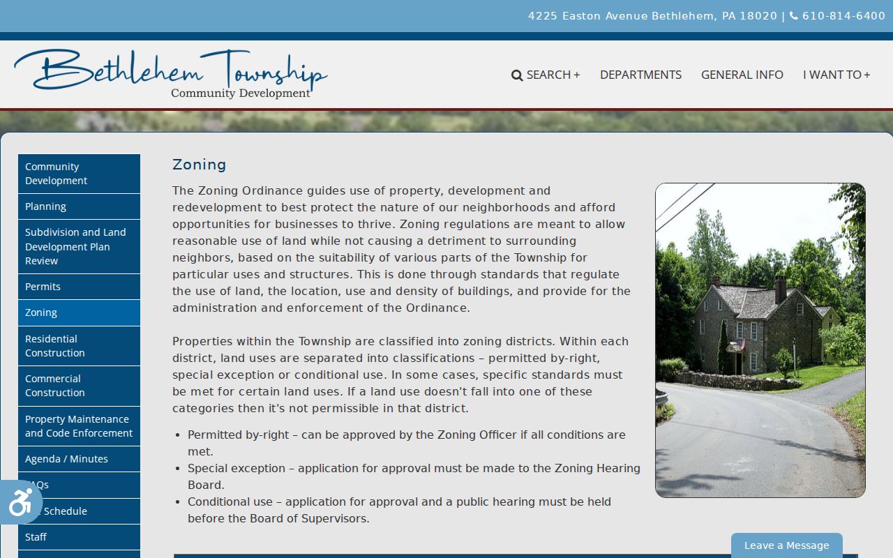
The zoning route helps interpret a parcel's municipal status without turning a tax field or permit application into a statement about residents.
Bethlehem Township Street Directory History
Historical street work belongs with the Bethlehem Area Public Library's Bethlehem Room, not with an assumed current parcel result. BAPL identifies city directories dating from 1900/1901, including 1900-01, 1904, 1906, 1911, and 1917-18 volumes, as well as maps, clippings, newspapers, and a house-research guide. Its public material does not document a complete Township-wide reverse or criss-cross directory run. Confirm the chosen title, year, and street coverage with staff before expecting a street index.
The house-research guide warns that a home can appear as 24, then 121, then 421 across different decades. Keep cross streets, nearby directory entries, deed descriptions, map/block/lot, and historic map context. The warning is a search method, not evidence of a Township-wide renumbering. BAPL's Sanborn map years of 1885, 1892, 1897, 1904, and 1912 can provide building and street-number context, but they do not list occupants.
Bethlehem Township Records at Two Counters
Northampton County has a useful in-person fallback when the online route ends. County Archives says LANDEX is available at both the Recorder office and Archives. The BAPL house guide describes working backward from a parcel or deed reference at the Recorder computer, then moving to deed books and microfilm when the system no longer recognizes a book and page. The county has not published one Northampton-specific remote index or image start year, so an online gap should never be presented as a date when the land trail ends.
The Recorder counter is at 669 Washington Street, Room L116, Easton, with 8:30 a.m. to 4:30 p.m. weekday hours and 610-829-6210. County Archives identifies historical tax assessments from the late 1700s through 1882 and provides free in-person research, with $5 per-name remote research and $0.50-page copies in the reviewed guidance. Ask the office which series and access channel fits the street and period before requesting copies.
Note: The dual LANDEX availability offers two local places to continue a Bethlehem Township deed search when a remote result needs counter verification.
Bethlehem Township Street Record Alert
A street search can also reveal a parcel or recorded name worth monitoring for later documents. Northampton County's free Record Alert is a Recorder-backed notification service, not a search result or title opinion. A registrant adds exact legal-name variants or a parcel or UPI number. The service checks recorded documents against those entries and sends a notice when it finds a match. The notice can include the registered name, recording date, instrument number, instrument type, and municipality.
The local setup details matter. One email-and-phone combination can monitor up to five names and five parcel or UPI numbers. The county guidance says to use name variants exactly as they appear in legal papers, put suffixes in the first-name field, and omit punctuation. A common name can produce a document unrelated to the registrant, so an alert must be checked through the Recorder record before any conclusion is drawn. It does not prevent a fraudulent filing or decide who holds title.
This feature is most useful after the street directory process has supplied a verified parcel identifier or a name from a recorded instrument. It is not appropriate for collecting names from a street. Keep the monitoring choice tied to a parcel or lawful personal concern, and use the Recorder's document system to confirm the date, parties, and land reference behind every alert. The alert is a prompt to inspect an official record, never a substitute for it. A property profile, name match, and notice are separate pieces of evidence that should not be merged unless the recorded instrument supports the connection.
Limits of a Bethlehem Township Street Directory
A parcel, recorded instrument, or historic directory entry has a defined scope. County property and Recorder records commonly identify assessment owners or parties to a document. They do not publish every renter, household member, utility customer, driver, or delivery recipient. The state voter-status tool is for individual registration and polling information, not browse-by-street searching. Pennsylvania voter-file access has separate permitted-use conditions and protected-address participants are suppressed.
Pennsylvania's Address Confidentiality Program provides a substitute mailing address for eligible survivors. Court records can be sealed or expunged, and other records may be redacted under the Pennsylvania Right-to-Know Law. A no-result can reflect a protected record, an offline series, changed numbering, or a spelling difference. Confirm a disputed entry with the Assessment Office, Recorder, court clerk, elections office, or Township officer that maintains it.
Lawful use. Use Bethlehem Township street records for lawful personal research, family history, property curiosity, or civic context. Do not use any record to stalk, harass, intimidate, or harm another person.